
Posts with tag 'Central Oregon Hikes'
Subscribe and receive email notifications of new blog posts.
 RSS Feed
- 2026 | 72 Posts
- 2025 | 103 Posts
- 2024 | 110 Posts
- 2023 | 72 Posts
- 2022 | 52 Posts
- 2021 | 70 Posts
- 2020 | 84 Posts
- 2019 | 38 Posts
- 2018 | 48 Posts
- 2017 | 39 Posts
- 2016 | 31 Posts
- 2015 | 10 Posts
17
Paulina Peak - Amazing Views and Lots of Volcanoes
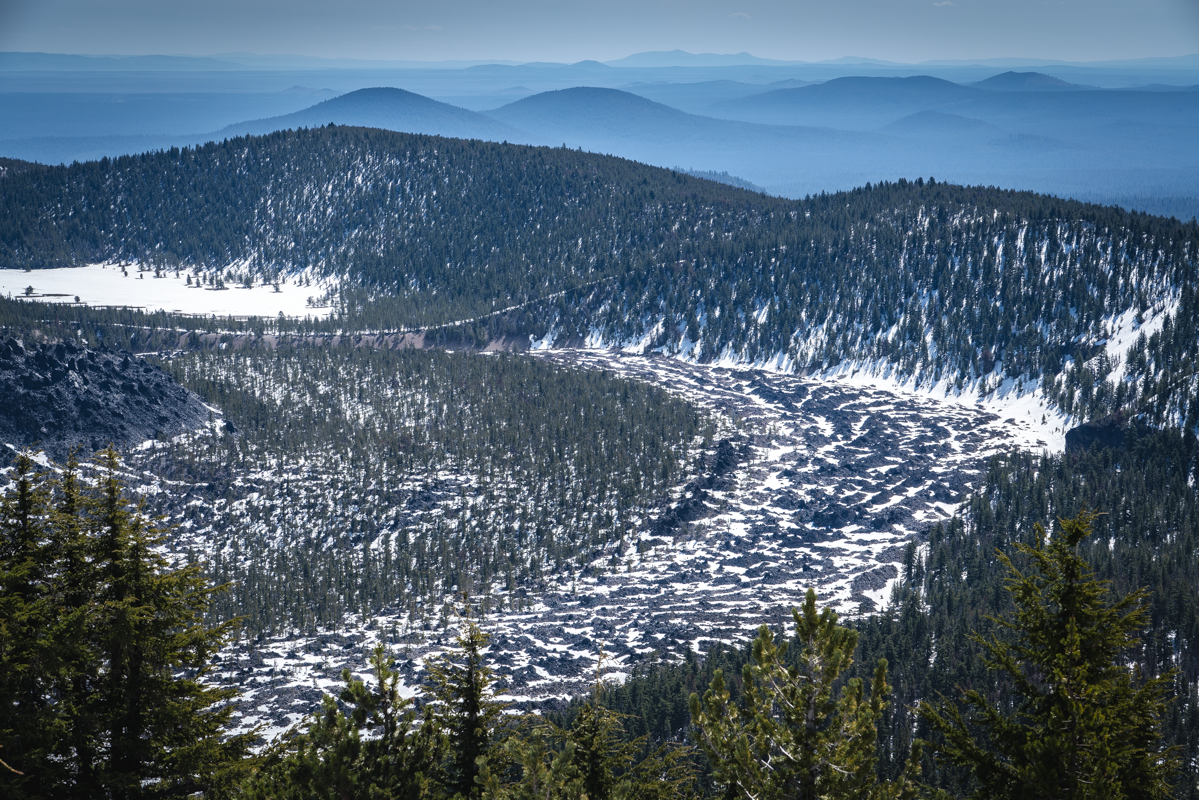
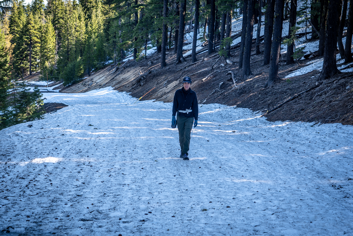
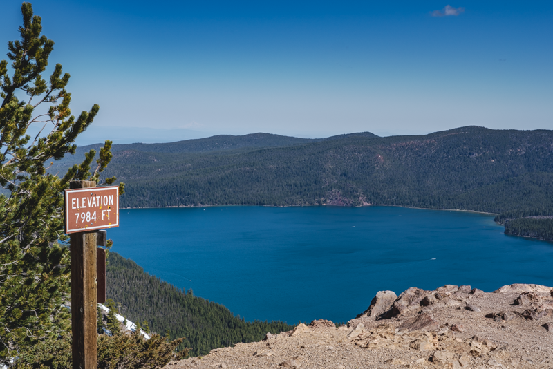
Having lived in Central Oregon for over 35 years, climbing Paulina Peak was on our bucket list of never done hikes. Last Saturday, May 14, 2021, we checked that hike off the list. We had anticipated that Newberry Crater National Volcanic Monument would be closed still as it is every winter, but were pleased to find that the unmanned gate to the monument was open and boaters were already enjoying outings on Paulina Lake and East Lake. We had planned on a 14 mile hike from the gate, but instead were able to drive to Paulina Lake Campground and park there before crossing the street to the gated road to Paulina Peak. This gravel road is normally open for cars to drive to the peak in the summer, but instead we hiked it to the top, avoiding the actual trail since we believed there would be a lot of snow drifts along the way. The 3 plus mile road to the top was fairly easy to hike, despite some sections still covered by snow. We gained 1600 feet in elevation from the trailhead to the top of the peak (just under 8000 feet) and as we climbed, were thrilled with all the views we had, not only of the Cascades, but also south and east toward Fort Rock and Christmas Valley.
At the top of Paulina Peak, there is a pit toilet (still closed) and wonderful views, although our vistas of the Cascades were hazy with controlled forest burns scattered around Central Oregon Saturday morning.
Some interesting facts about Central Oregon - there are roughly 400 volcanoes in our area. And three of the top ten classified as "very high threats" by the United States Geological Survey (USGS) are here as well...Crater Lake, South Sister, and Newberry Volcano - right where these photos were taken.
 |
 |
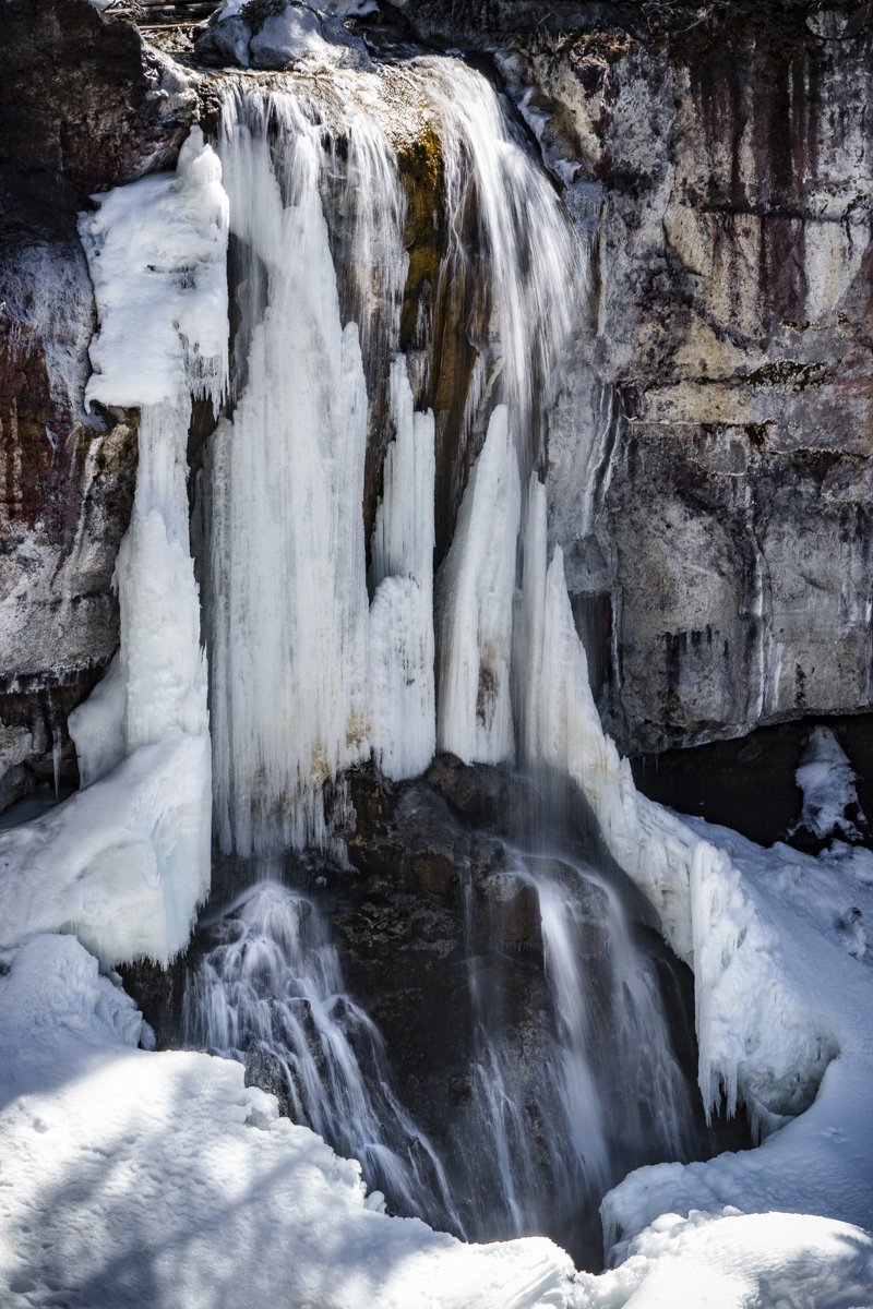
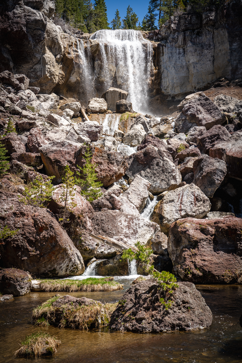
Since our anticipated 14 mile hike was shortened to roughly 6 miles and we were done a lot earlier than planned, we stopped off at Paulina Falls on the way back to Bend and trekked the 1/4 mile down to the base to view the falls. We had hiked Peter Skene Ogden trail the month previous which ended at Paulina Falls on the other side of the river. Quite a difference in one month!
 |
 |
11
Black Butte is a Wonderful Central Oregon Hike
For a Great Aerobic Workout and Great Views, Hike Black Butte
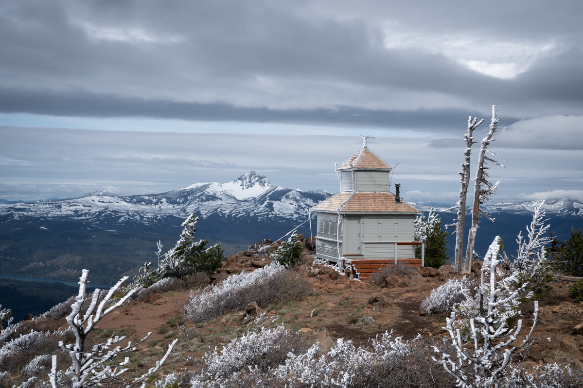
Black Butte is an iconic landmark just outside Sisters Oregon and over the years has also been a fire lookout. Today it is a terrific hike climbing 1600 feet in just under 2 miles. When hiked Black Butte on May 8, 2021, the weather was cloudy and cool, but the trail was free from snow until just before the top of the butte. To access the trail head, travel west on Highway 22 five miles past Sisters until you reach the Indian Ford Campground exit (milepost 95). Travel on paved Forest Road 11 until you reach unpaved Forest Road 1110. Travel on 1110 just under six miles to the trailhead (the last mile is quite narrow and rough). The trail head requires a forest pass and the parking area can fill up early.
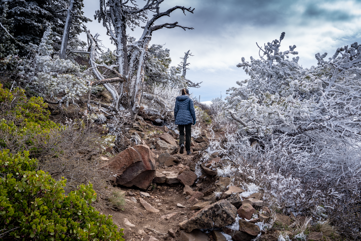
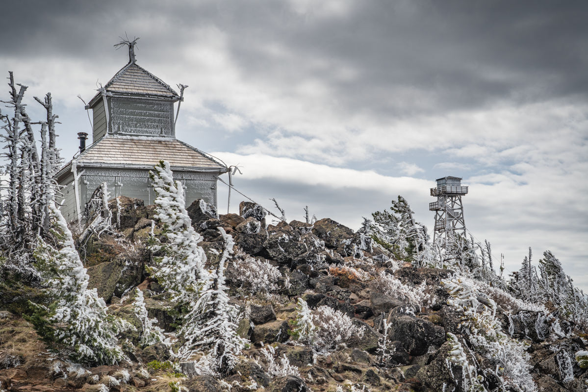
The path to the top of the Butte is well maintained and popular. We saw people running the path to the top and others hiking with children. On May 8th, the wind was blowing at the top of the Butte and it was chilly; those dressed in running shorts didn't stay long. We were dressed for cool weather and were able to enjoy the time at the top seeing the lookouts and the brand new observation deck still under construction.
During our hike down, we were amazed at the numbers of people we passed climbing up. During that two mile trek down, we estimate we passed 70 people hiking up. Obviously others enjoy climbing Central Oregon mountains as much as we do!
 |
 |
27
The "Secret" Hike to Alder Springs
The "Unofficial" Hiking Route on Lower Whychus Creek
.jpg)
We hiked to Alder Springs last year for the first time. This lovely canyon oasis, located on Whychus Creek near the confluence of the Deschutes River, has beautiful geological formations and stunning sights at every turn. The "official" and "unofficial" trails are closed December 1 through March 31, but during our recent hike April 24th, 2021, we saw fewer than 20 people the entire time and no one at all on our "unofficial" trail. The unofficial trail starts at Whychus Creek Crossing, located inside the Crooked River National Grassland. The road to the crossing is rough, passable by standard car, but we would recommend a 4 wheel vehicle. There are several picnic tables at the crossing and no trailhead. But if you walk past the last picnic table, keeping Whychus Creek on your right, you will eventually find a trek that takes you down the creek 3.5 miles until you reach Alder Springs. The hike takes you up and down a bit on the escarpment bordering Whychus Canyon and in places is a bit sketchy near steep drop offs into the canyon. But the trail, although faint, is very passable and once you get close to Alder Springs, the trail will drop into the canyon bottom next to the ford over the creek.
.jpg) |
.jpg) |
Past the spring, hikers can walk another 1.5 miles to the confluence of Whychus Creek with the Deschutes River. This little additional trek was absolutely wonderful and is an experience not to miss. The rivers were full, but the foliage just starting to leaf out, so the views of the river from the trail were fairly visible and creek access doable. We believe later in the year, once the foliage is full and growing, river access may be harder to obtain. One of these side treks from the hike provided a beautiful view of a "weeping wall" - water flowing from the canyon wall into Whychus Creek which reminded us of Hawaii.
The confluence of Whychus Creek with the Deschutes was absolutely stunning with both waterways full from snowmelt. The rock outcropping at the end of the trail was a great place to have lunch, take pictures, and enjoy the beauty of Central Oregon.
.jpg) |
.jpg) |
After lunch, our hike back to Whychus Crossing was fairly uneventful, with the exception of the snake stretched out on our trail (we walked around it). During the summer the area will get very warm with the only shade near the creek. But early spring and late fall, the 10 mile round trip hike is a great way to spend a day enjoying Central Oregon's high desert.
.jpg) |
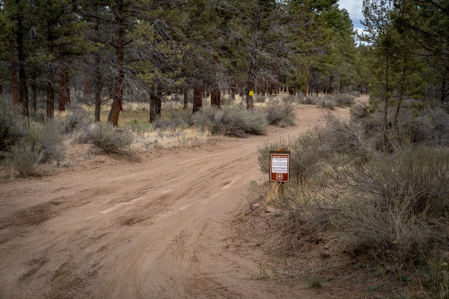 |
To find Whychus Creek crossing and our "secret" hike to Alder Springs, take Locust Street (Camp Polk Road) in Sisters 3.1 miles north from East Cascade Avenue. Take this to Wilt Road, staying on Wilt when the pavement ends 4 miles. Past Rimrock Ranch, the road is less maintained. Travel another 2.5 miles until you see a sharp unmarked turnoff to the right on the rough road we mentioned earlier. This turnoff has a brown sign noting the area being closed December 1 through March 31. Travel on this until you reach the crossing.
19
Steins Pillar Hike Still a Great Central Oregon Option Early Spring
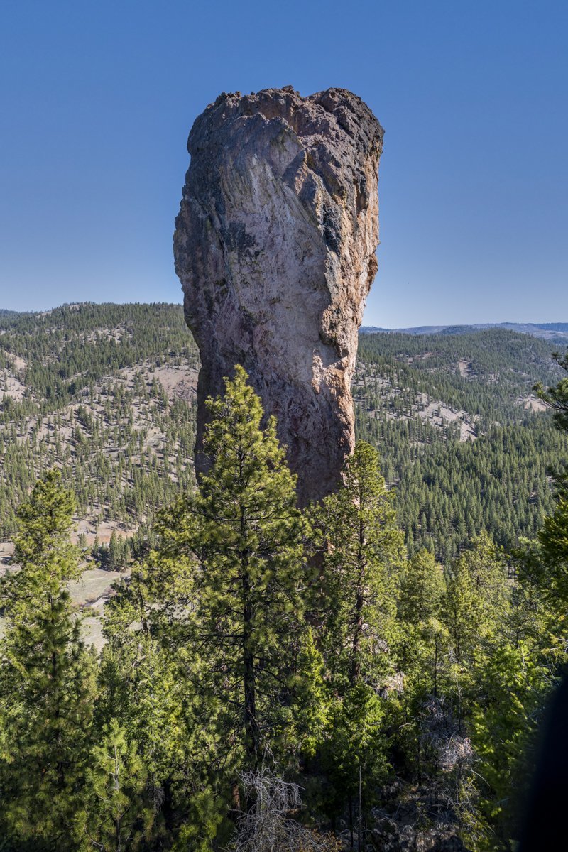
It seems that a year into the Covid-19 pandemic, we are finding ourselves repeating the hikes we took a year ago. Steins Pillar in the Ochocos is a fairly short, fairly easy hike with an impressive end at the 350 foot pillar, a volcanic remnant over 38 million years old. Probably the most concerting issue getting to the trail head is the two mile mostly single lane dirt road (within potholes) which can be somewhat sketchy going around corners, hoping no one else is coming the other way. But if you make it to the actual trail head without incident, the four-mile in and out moderate hike to the pillar has an easy to follow trail with several view points along the way. On our hike, April 17, 2021, there were just a couple of icy patches on the trail in sheltered, northern facing sl...
11
Ready for a Great Spring Hike?
Peter Skene Ogden Trail is Ready Now!
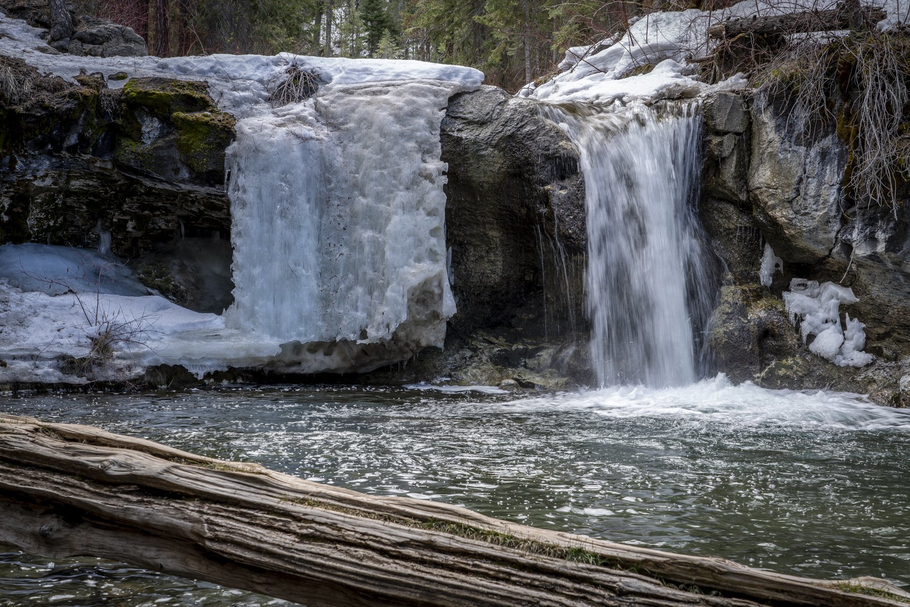
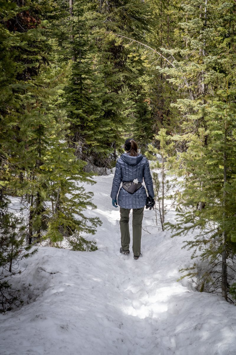
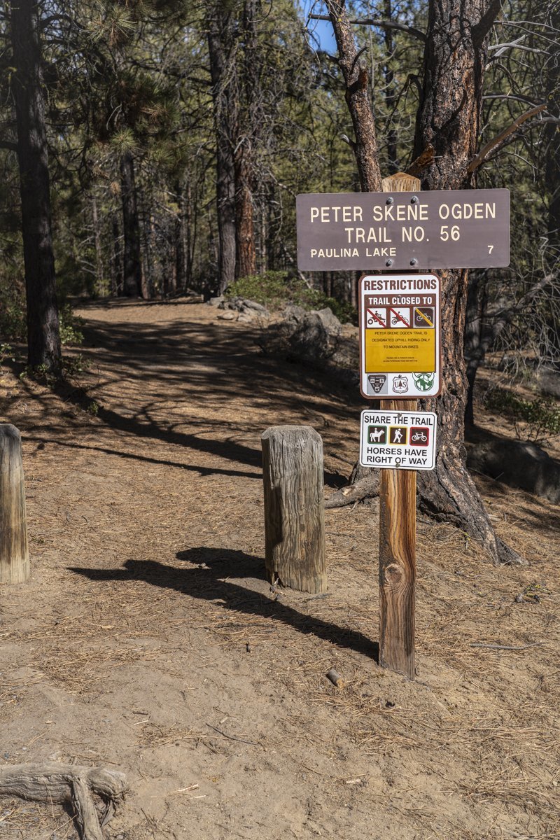
It has been just over a year since we last hiked Peter Skene Ogden Trail, located just outside Newberry National Volcanic Monument off the road to the park entrance. Last Saturday, April 10th 2021, the weather was predicted to be cool and windy and this hike, mostly sheltered from the wind in the canyon where Paulina Creek flows, seemed a good choice. When we parked our car by the trailhead at the closed McKay Crossing Campground, there was only one other car and the temperature was under 40 degrees. We thought we would hike the 3.5 miles to our favorite waterfalls along the hike - the place we call "Twin Falls." We dressed warm and quickly covered the distance to the falls. After a short stop with photos of the falls, we decided to see how much further we could make it on the hike, knowing the trail ends at Paulina Lake. We were surprised to see the trail was relatively snow free until past 4.5 miles, and then very passable with microspikes on our shoes. We made it all 7 miles to Paulina Falls where we enjoyed a quick lunch prior to starting back. Although trekking through the snow was much slower than on the bare ground, the experience was very enjoyable and yes, pretty sheltered from the wind. All in all, we saw only 6 other people and 2 dogs the entire day.
 |
|
 |